Riga, Latvia, 14-17.06.2006
| Report on the Symposium of the IAG Subcommission for Europe (EUREF) held in Riga, Latvia, 14 - 17 June 2006 |
|---|
| Opening Session Chairperson: Janis Balodi click to see file |
| Introductory Remarks by the Head of the Local Organizing Committee J. Balodis |
| Welcome Address by the Rector of the University of Latvia I. Lacis |
| Welcome Address by the the Rector of the Riga Technical University I. Knets |
| Welcome Address on behalf of the Ministry of Defence Z. Grinpauks |
| President of IAG Sub-commission 1.3 Regional Reference Frames Z. Altamimi |
| President of the Reference Frame Sub-commission for Europe (EUREF) J. A. Torres click to see file |
| Session 1 Activities of the Technical Working Group (TWG) / Status of the EUREF Permanent Network (EPN) Chairperson: Alessandro Caporalir |
| 1.1 - Report on the TWG Activities Z. Altamimi click to see file |
| 1.2 - ITRF2005 and consequences for the ETRS89 realization Z. Altamimi click to see file |
| 1.3 - Interpolation of the European velocity field using least squares collocation method J. Legrand, Z. Altamimi, O. Jamet click to see file |
| 1.4 - Development Status of the European GPS/Leveling Network – EUVN_DA A. Kenyeres, M. Sacher, J. Ihde, H. Denker, U. Marti click to see file |
| 1.5 - European Vertical Reference System (EVRS) 2007 – a Combination of UELN and ECGN J. Ihde, M. Sacher, J. Mäkinen click to see file |
| Session 2 European Vertical Reference System (EVRS) - Height Systems Chairperson: Ambrus Kenyeres |
| 2.1 - Status of UELN – Steps on the way to EVRS2007 M. Sacher, J. Ihde, R. Svensson click to see file |
| 2.2 - The Baltic Levelling Ring K. Engsager, P.-O. Eriksson, M. Lilje, J. Mäkinen, V. Saaranen, R. Svensson, M. Takalo, O. Vestøl, J. Ågren click to see file | click to see file |
| 2.3 - The Swedish Height System RH2000 as a National Realisation of EVRS J. Agren, R. Svensson, P.-A. Olsson, P.-O. Eriksson, M. Lilje click to see file |
| 2.4 - The New Finnish Height System N2000 V Saaranen, P. Lehnuskoski, P. Rouhianen, J. Mäkinen click to see file |
| 2.5 - Realization of EUVN densification project in the Republic of Croatia I. Grgiƒ, B. Barišiƒ, Ž. Heƒimoviƒ click to see file |
| 2.6 - Determination of Geopotential W0,ALICANTE and its Connection to W0,NAVD88 M. J. Sevilla de Lerma, M. Burša, D. Dušátko, S. Kenyon, J.Kouba, Z. Šíma, V. Vatrt, J. Marša, M. Vojtíšková click to see file |
| 2.7 - DFHRS – A rigorous approach for the integrated adjustment of fitted height reference surfaces R. Jäger, S. Schneid click to see file |
| Session 3 Activities of the Expert Group on Geodesy (ExGG) Chairperson: Elmar Brockmann |
| 3.1 - ExGG Status Report J. Ihde click to see file |
| 3.2 - Streaming GNSS data via Internet – Review of the NTRIP Symposium D. Dettmering, G. Weber click to see file |
| 3.3 - Continuously Operating Reference Stations Network – A Future Strategy for Republic of Moldova V. Chiriac click to see file |
| 3.4 - Status of INSPIRE Drafting Teams H. Habrich click to see file |
| Session 4 EUREF Permanent Network (EPN): Status, Analysis and Projects Chairperson: Zuheir Altamimi |
| 4.1 - The EUREF Permanent Network: Recent Achievements C. Bruyninx, F. Roosbeek click to see file |
| 4.2 - Development Process of EPN Analysis H. Habrich click to see file |
| 4.3 - New Products at the EPN Time Series Special Project: Status Report A. Kenyeres click to see file |
| 4.4 - Short-term coordinate variations observed at EPN stations J. Hefty, M. Hrcka click to see file |
| 4.5 - EUREF-IP: From Pilot Project to Professional Service D. Dettmering, G. Weber click to see file |
| 4.6 - Account of the EPN Special Project “Troposphere Parameter Estimation” W. Söhne, H. Habrich click to see file |
| Session 5 EPN Related Applications Chairperson: Carine Bruyninx |
| 5.1 - Progress of E-GVAP GPS Water Vapour Project Z. Altamimi click to see file |
| 5.2 - Issues Related to the Use of Absolute GPS/GLONASS PCV Models S. Schaer click to see file |
| 5.3 - The impact of the antenna mounting on the phase centre variation J. Lesparre click to see file |
| 5.4 - GEONAS – The Geodynamic Network of the Academy of Sciences of the Czech Republic: permanent GNSS observations and routine data processing in the IRS operational centre F. Mantlík, V. Schenk, Z. Schenková, P. Kottnauer, M. Grácová, Z. Fucík click to see file |
| 5.5 - CERGOP-2/Environment; An EU project supporting EUREF presently and during the next five years P. Pesec click to see file |
| 5.6 - Constraining the seismic budget of Adria indentation and the dynamics of fault interaction with geodetic strain rate data A. Caporali, M. Massironi, A. Nardo click to see file |
| Session 6 Implementation of ETRS89 / ETRF Improvements Chairperson: Hans v. d. Marel |
| 6.1 - Processing of the GPS measurements of the new National GPS Network of Republic of Bulgaria I. Georgiev, P. Gabenski, G. Gladkov, T. Tashkov, D. Dimitrov click to see file |
| 6.2 - Improvement and extension of EUREF89 in Latvia and Lithuania based on the NKG 2003 GPS campaign L. Jivall, J. Kaminskis, E. Parseliunas click to see file |
| 6.3 - CROREF-05 GPS campaign – preliminary results M. Marjanovic, Ž. Bacic, T. Bašic click to see file |
| 6.4 - Results of re-processing of GPS data from EUREF-POL, POLREF and EUVN campaigns using EPN standards J. Krynski, M. Figurski click to see file |
| 6.5 - Monitoring the Automated GPS Network of Switzerland AGNES E. Brockmann, S. Grünig, D. Ineichen, S. Schaer click to see file |
| 6.6 - The First Austrian Velocity Field derived from GPS C. Haslinger, G. Stangl click to see file |
| 6.7 - Geodetic reference frames in the presence of crustal deformations M. Lidberg, J. Johansson click to see file |
| 6.8 - Adding geodetic strain rate data to seismogenic contexts in the Alps and Apennines A. Caporali, M. Massironi, A. Nardo click to see file |
| Session 7 National Reports Chairperson: Jaroslav Simek |
| 7.1 - National Report of Austria N. Höggerl, G. Stangl, D. Ruess click to see file |
| 7.2 - National Report of Belgium P. Voet |
| 7.3 - European Reference Frame in Bulgaria G. Milev, M. Minchev, G. Valev, M. Matova, K. Vassileva, P. Gabenski click to see file |
| 7.4 - National Report of Croatia M. Bosiljevac, M. Marjanovic, Ž. Bacic, T. Bašic click to see file |
| 7.5 - EUREF Related Activities in the Czech Republic 2005 – 2006: National Report J. Simek click to see file |
| 7.6 - National Report of Denmark N. Andersen click to see file |
| 7.7 - National Report of Estonia K. Kollo, A. Rüdja, P. Pihlak, R. Vallner click to see file |
| 7.8 - National Report of Finland M. Ollikainen, J. Jokela, M. Poutanen, R. Chen, J. Mäkinen click to see file |
| 7.9 - National Report of France F. Duquenne, A. Harmel, H. Duquenne, B. Garayt click to see file |
| 7.10 - National Report of Germany J. Ihde, U. Faulhaber, H. Habrich, G. Liebsch, M. Sacher, G. Weber, H. Wilmes click to see file |
| 7.11 - National Report for Great Britain M. Greaves, P. Cruddace, R. Bingley, D. Baker, G. Appleby click to see file |
| 7.12 - National Report of Italy A. Caporali click to see file |
| 7.13 - Latvia National Report about geodetic activities J. Kaminskis click to see file |
| 7.14 - National Report of Lithuania E. Parseliunas click to see file |
| 7.15 - National Report of Malta E. Debono click to see file |
| 7.16 - National Report of Moldova V. Chiriac click to see file |
| 7.17 - National Report of the Netherlands J. Lesparre click to see file |
| 7.18 - National Report of Norway O. Vestøl click to see file |
| 7.19 - National Report of Poland to EUREF 2006 J. Krynski, J. B. Rogowski, J. B. Zielinski click to see file |
| 7.20 - National Report of Portugal H. Kol, M. Vasconcelos, G. Crisóstomo, C. Martins, A. Medeiro click to see file |
| 7.21 - National Report 2005 – Slovakia M. Klobušiak, D. Ferianc, K. Leitmannová, J. Hefty click to see file |
| 7.22 - National Report of Sweden L. Jivall, M. Lidberg, M. Lilje, J. Ågren click to see file |
| 7.23 - EUREF'06: National Report of Switzerland A. Wiget, E. Brockmann, M. Kistler, U. Marti, A. Schlatter, B. Vogel, U. Wild click to see file |
| 7.24 - National Report of Turkey M. Kahveci click to see file |
| Session 8 Other EUREF-related contributions Chairperson: Günter Stangl |
| 8.1 - A data set for testing geoid computation methods in the scope of the European gravity and geoid project H. Duquenne click to see file |
| 8.2 - Centimetre level of accuracy of the new quasigeoid in Poland J. Krynski, A. Lyszkowicz click to see file |
| 8.3 - GGSP: Geodetic Component of the Galileo System W. Söhne, J. Ihde, G. Gendt click to see file |
| 8.4 - Riga Multifunctional RTK Network – Subset of EUPOS® G. Silabriedis, J. Balodis click to see file |
| Session 9 Resolutions / Elections / Next Symposium Chairpersons: Paul Crudacce / João Agria Torres |
| 9.1 - Resolutions P. Crudacce click to see file |
| 9.2 - Elections / Next Symposium J. A. Torres |
| Closing Session Chairpersons: Janis Balodis / Janis Kaminskis |
| Closing Remarks by the Local Organizing Committee J. Balodis, J. Kaminskis |
| President of Reference Frame Sub-commission for Europe (EUREF) J. A. Torres click to see file |
| Posters Presentations |
| P.01 - A New Combined Height Reference Surface for Germany (GCG05) U. Schirmer, J. Ihde, H. Denker, G. Liebsch, J. Müller click to see file |
| P.02 - High precision geoid model in Estonia H. Jürgenson |
| P.03 - EUREF LAC GOP processing development in 2005/2006 V. Filler, J. Douša click to see file |
| P.04 - Relative Positioning in Europe: Influence of the GPS+Galileo satellite geometry M. Moins, C. Bruyninx click to see file |
| P.05 - Updated Information on Establishment of the European System of Reference Stations EUPOS A. Blaser, W. Graszka, G. Rosenthal, J. Sledzinski click to see file |
| P.06 - Studies on accessibility and reliability of RTK measurements by internet L. Kujawa, J. B. Rogowski click to see file |
| P.07 - The RAP Net: A Geodetic Positioning Network for Andalusia (South Spain) M. Berrocoso, R. Páez, A. Sánchez-Alzola, A. Pérez-Peña, M. E. Ramírez, Y. Jimenez, A. Hermosilla, M. Redondo click to see file |
| P.08 - Investigations of the GNSS Antennae Phase Centre Variations as the Influence of the Local Conditions Changes J. Cisak, Y. M. Zanimonskiy, J. Kapcia click to see file |
| P.09 - GPS Reference Station Network of Latvia - LatPOS J. Kaminskis click to see file |
| P.10 - Extension of the DFHRE Approach for Gravity Observations and Computation Design for a 1 cm Fitted DFHRS of Europe R. Jäger, S. Schneid click to see file |
| P.11 - GPS and GLONASS Data Analysis using Stations from EUREF Permanent Network C. Bruyninx click to see file |
| P.12 - Development of the Precise Levelling Network in Estonia A. Rüdja click to see file |
| P.13 - CERGOP GPS Data Processing and Analysis of the Results Related to the Region of the Balkans K. Vassileva click to see file |
| Art Gallery Impressions of the EUREF 2006 Symposium in Riga drawn by Carl Calvert click to see file |
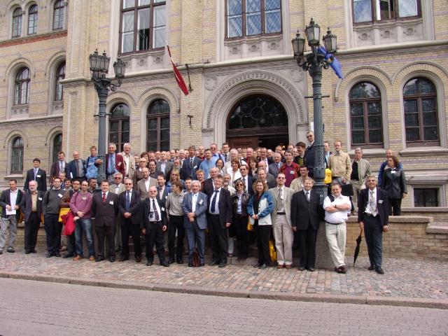
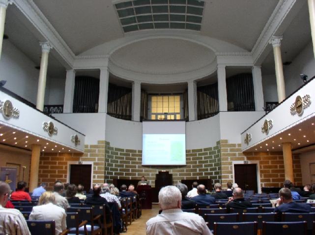
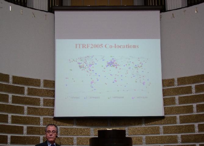
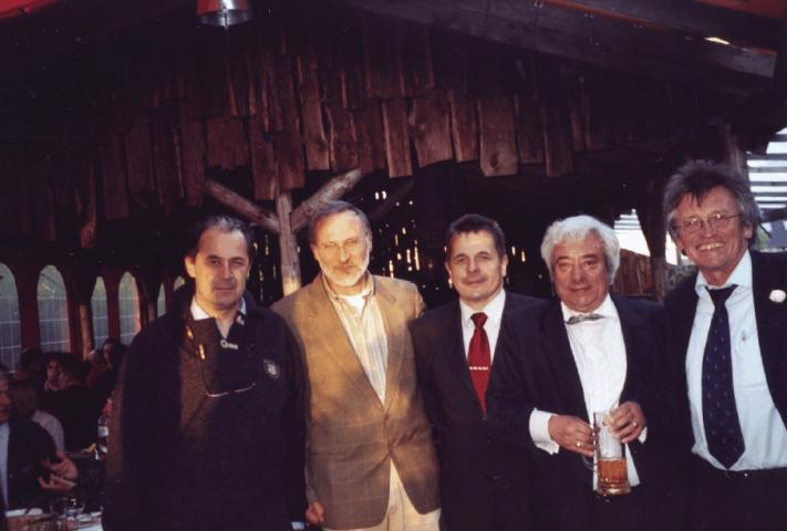
Photos